Rock Formations and Geology
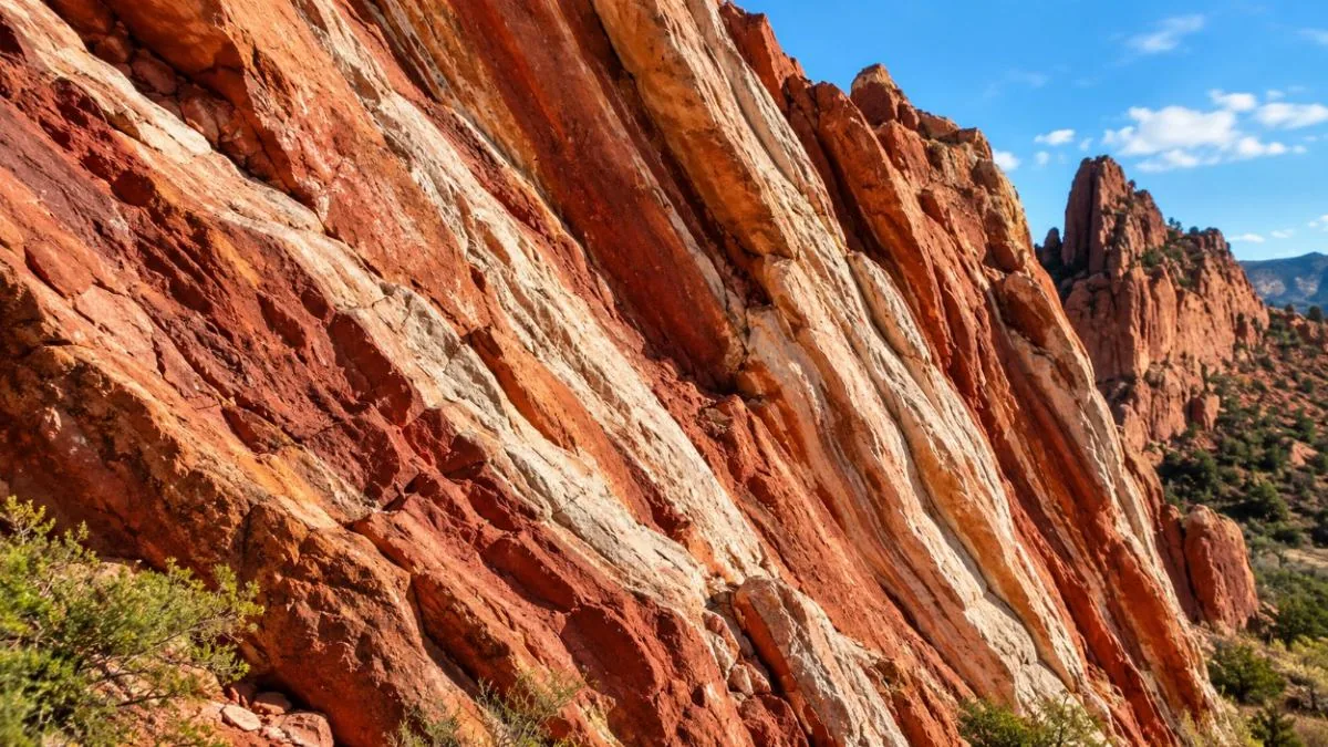
How the rocks came to stand upright
Each fin in the park began as a flat layer of sediment that hardened into rock. The Laramide uplift, which raised the Front Range about 70 to 60 million years ago according to the city’s geology teacher packet, tilted those layers up at the edge of the mountains until many of them stood nearly on end. The Foundation describes the result as "300 million years of geologic history" in one park.
The Visitor & Nature Center explains the story in its free geology gallery, which includes a Geological Time Tunnel, and in the Geo-Trekker Theatre film "How Did Those Red Rocks Get There?" (under 15 minutes, a fee applies).
The layers
Ages are from the City of Colorado Springs geology teacher packet, hosted on gardenofgods.com.
| Formation | Age (million years) | Notes |
|---|---|---|
| Fountain Formation | 320 to 300 | Balanced Rock is Fountain sandstone, per the Denver Gazette |
| Lyons Formation | 300 to 250 | "The tallest rocks in the Park", per the city packet |
| Lykins Formation | 260 to 250 | Listed in the city packet |
| Morrison Formation | 155 to 148 | Listed in the city packet |
| Dakota Sandstone | 112 to 100 | Shares its name with the Dakota Trail |
| Benton Group | 100 to 88 | Listed in the city packet |
| Niobrara Formation | 88 to 70 | Shares its name with the Niobrara Trail |
| Pierre Shale | 73 to 70 | Listed in the city packet |
| Mesa Gravels | 2 to 0.01 | The youngest deposits listed |
How tall are the rocks
The city names the Lyons Formation as the tallest rock in the park but gives no height. According to secondary sources such as 5280 magazine and WorldAtlas, the tallest rocks reach about 300 ft. No official source gives a height for a single named rock, so heights quoted for individual formations elsewhere are unconfirmed.
The named formations
The city’s 2020 park map names these formations:
- Balanced Rock: a block of Fountain Formation sandstone reported at about 700 tons, resting about 35 ft above its pedestal, according to the Denver Gazette. The photographer Paul Goerke bought the land around it in the 1890s, photographed visitors there and later fenced it and charged admission; the city bought the property in 1932.
- Kissing Camels: on top of North Gateway Rock.
- North Gateway Rock and South Gateway Rock, both named on the map.
- Siamese Twins and the Keyhole Window: the Siamese Twins Trail ends at a natural rock window that frames Pikes Peak.
- Cathedral Spires and Sentinel Spires, both named on the map.
- Tower of Babel and Gray Rock: both typically carry seasonal raptor-nesting closures for climbers.
- Three Graces, Pulpit Rock, Sleeping Giant, Steamboat Rock, White Rock, plus the Giant Footprints and Scotsman.
A Cog Railway-hosted map adds Signature Rock, the Toad and Toadstool rocks and Sentinel Rock (Twin Spires). The Segway tour listing also names "Praying Hands", a name that does not appear on the city map.
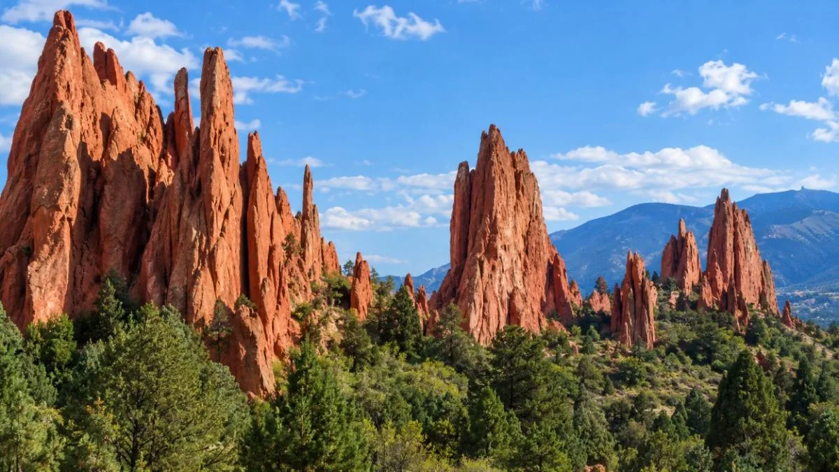
What is special about the place
Garden of the Gods was designated a National Natural Landmark in 1971. The application, written by the biologist Richard G. Beidleman, called it "The most striking contrast between plains and mountains in North America". The park sits on that line: the tilted rocks run along the edge of the Front Range, with Pikes Peak (14,115 ft) behind them and the plains to the east.
The rocks also hold a fossil found nowhere else. In 1878 Professor James H. Kerr of Colorado College found a dinosaur skull here. It was later misidentified, and in 2006 it was named as a new genus and species, Theiophytalia kerri, from Greek words for "belonging to the gods" and "garden". It is the only known specimen; the original is at the Yale Peabody Museum and the Visitor Center shows a replica cast. See the dinosaur page.
The same Fountain and Lyons rocks continue south into Red Rock Canyon Open Space, a city open space of 1,474 acres about 1.2 miles to the south.
Stories to set straight
- The name. It did not come from a Native American name. In 1859 the surveyors M. S. Beach and Rufus Cable saw the rocks, and Cable said: "Biergarten! Why it is a fit place for the Gods to assemble. We will call it the Garden of the Gods." See why the name.
- The owner. The Balanced Rock photographer was Paul Goerke, not "Hiram", as some retellings have it.
Looking without touching
Nothing may be taken from the park, and off-trail travel is prohibited. Bouldering or scrambling above 10 ft without proper equipment is illegal; technical climbing needs a free permit, covered on the rock climbing page. The low sun before about 8 am or after about 4 pm brings out the color of the sandstone, according to the park.
The Geo-Trekker film at the Visitor Center runs under 15 minutes and starts every 20 minutes. Seeing it before the walk makes the tilted layers on the Perkins trail easier to read.
Tours that talk about the rocks
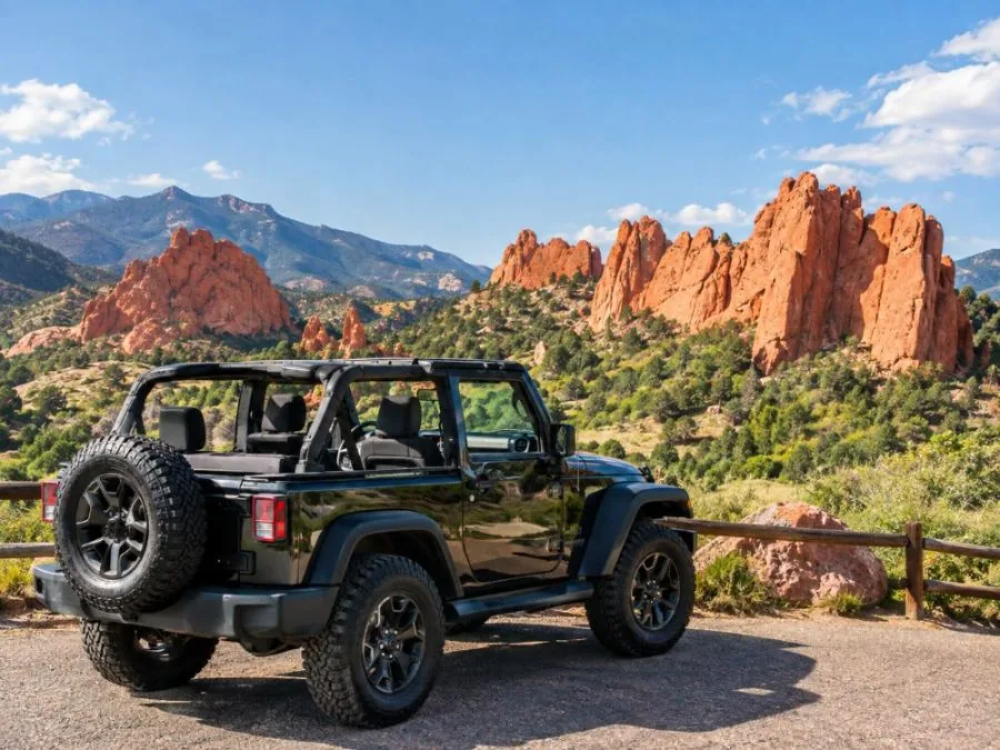
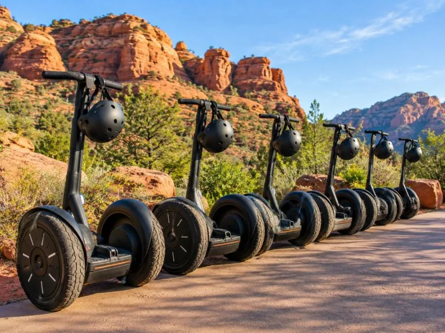
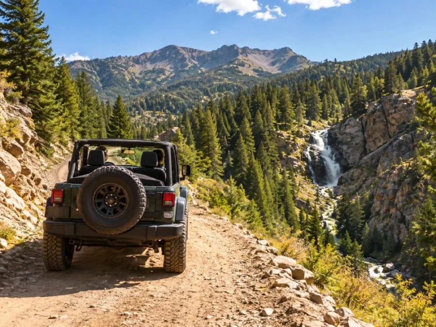
Several listings touch on the rocks. The e-bike tour includes geology commentary, and the Luxury Jeep Tour describes formations "up to 300 feet tall" (listing wording) and includes photo stops and walking along hiking trails. The Segway tour names the Kissing Camels and Praying Hands. The Foothills Jeep Tour pairs the park with Helen Hunt Falls and Manitou Springs.
 Private option
Colorado Springs: Garden of the Gods Luxury Jeep Tour
 Max 5 guests
Colorado Springs: Garden of the Gods Segway Tour
 Max 6 guests
Colorado Springs: Garden of the Gods and Foothills Jeep Tour
Frequently asked questions
What is so special about Garden of the Gods?
Tilted red sandstone fins on the line between the plains and the Rocky Mountains, a National Natural Landmark since 1971, and the only known Theiophytalia kerri dinosaur skull. Entry is free.
How were the rocks at Garden of the Gods formed?
They were laid down as flat layers between about 320 and 250 million years ago and tilted upright by the Laramide uplift about 70 to 60 million years ago.
How tall are the rocks at Garden of the Gods?
The city says the Lyons Formation rocks are the tallest in the park. Secondary sources put the tallest at about 300 ft; no official height exists for a single rock.
Where are the Kissing Camels?
On top of North Gateway Rock, per the park map. See the Kissing Camels page.